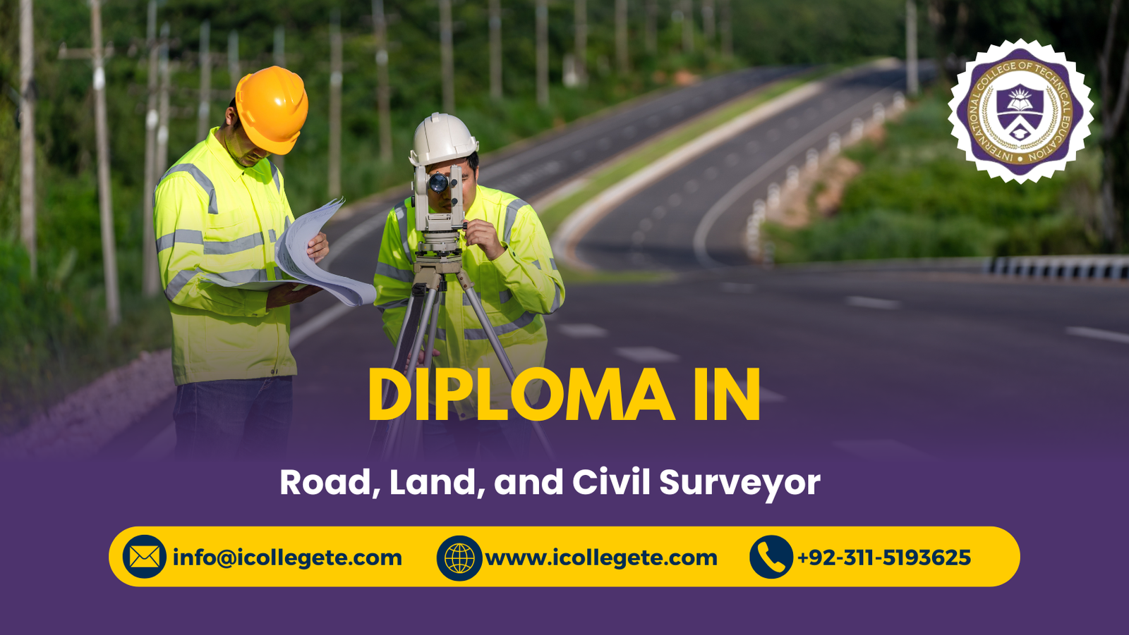
The Diploma in Road, Land and Civil Surveyor is a specialized program designed to train students in surveying techniques essential for infrastructure development, land management, and civil engineering projects. Surveyors play a critical role in planning and executing construction works by providing accurate measurements, maps, and layouts that guide engineers and architects.
This diploma covers both theoretical knowledge and practical skills in road surveying, land measurement, contour mapping, GPS/GIS applications, and the use of modern instruments such as total stations and AutoCAD software. Students gain hands-on experience in fieldwork and laboratory practices, ensuring they are prepared to meet industry standards in construction, roadworks, and urban planning.
Graduates of the Diploma in Road, Land and Civil Surveyor program can pursue careers in construction companies, government departments, real estate development, and consultancy firms. It is an excellent choice for individuals who want to build a technical career in civil engineering, contribute to infrastructure growth, and specialize in surveying for roads and land development projects.
The course is divided into several key study units to ensure you develop a comprehensive understanding of surveying practices and techniques:
- Introduction to Surveying:
- Basic principles and history of surveying.
- Overview of different types of surveys (land, road, construction).
- Surveying Instruments and Equipment:
- Understanding and using Total Stations, GPS, and leveling instruments.
- Calibration and maintenance of surveying equipment.
- Road and Land Surveying:
- Techniques for surveying roads, highways, and land parcels.
- Geodetic and topographic surveying methods.
- Civil Engineering Surveying:
- Surveying for civil projects such as bridges, dams, and buildings.
- Role of surveyors in construction and infrastructure projects.
- Data Collection and Analysis:
- Collecting and recording survey data.
- Methods for analyzing and processing survey results.
- Mapping and CAD Software:
- Introduction to CAD (Computer-Aided Design) software for creating digital maps.
- Using CAD for mapping land features and infrastructure.
- Legal and Regulatory Framework:
- Property law, land ownership, and boundary disputes.
- Ethical and legal considerations in land and road surveying.
- Practical Project Work:
- Application of surveying techniques in real-world scenarios.
- Completing a final project that involves surveying and mapping a site.
Upon completion of the Diploma in Road, Land, and Civil Surveyor course, you will:
- Master Surveying Techniques: Understand and apply various surveying methods used in road, land, and civil projects.
- Use Surveying Equipment: Become proficient in handling essential surveying tools such as Total Stations, GPS systems, and levels.
- Interpret Survey Data: Analyze and interpret data from land surveys to create accurate maps and plans.
- Understand Legal Aspects: Learn about the legal and regulatory requirements of land surveying, including property boundaries and land rights.
- Conduct Site Assessments: Perform site assessments for land development, road construction, and civil engineering projects.
- Work with CAD Software: Gain experience using CAD software to translate survey data into digital maps and plans.
Enrolling in the Diploma in Road, Land, and Civil Surveyor course offers numerous advantages, including:
- Industry-Relevant Knowledge: Gain the expertise needed to work in a wide range of industries, including construction, real estate, and urban planning.
- Hands-on Training: Experience the latest surveying tools and technology, preparing you for the challenges of the job.
- Career Opportunities: Surveying professionals are in high demand in construction, civil engineering, and land development sectors.
- Professional Growth: Develop the skills to work independently or as part of a team on large-scale infrastructure projects.
- Certification: Earn a recognized diploma that enhances your qualifications and employability in the surveying field.
This course is suitable for individuals who are interested in pursuing a career in surveying or enhancing their current skills. It is designed for:
- Aspiring Surveyors: If you want to enter the field of surveying and work on infrastructure, road, and land projects, this course provides the foundational knowledge and skills.
- Civil Engineering and Construction Students: This diploma is an excellent addition to the education of students pursuing civil engineering, architecture, or construction management.
- Technicians and Draftsmen: Professionals already working in the construction and design sectors can enhance their skills in surveying to broaden their career opportunities.
- Land Development Professionals: Those involved in real estate, land development, or urban planning can benefit from understanding the surveying techniques used to assess and map land for projects.
- Freelancers and Entrepreneurs: If you plan to work independently as a surveying consultant or start your own surveying business, this diploma equips you with the skills to do so.