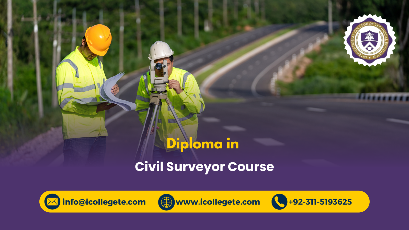
The Diploma in Civil Surveyor Course in Pakistan is a practical, career-focused programme designed to develop the technical knowledge and field skills required for surveying activities in construction, infrastructure, land development, roads, bridges, and civil engineering projects. Civil surveying plays an essential role in determining accurate distances, elevations, angles, coordinates, boundaries, and site conditions before and during construction. This diploma provides learners with a structured understanding of modern surveying methods, instruments, measurements, mapping, positioning, and construction layout techniques.
The course covers fundamental and advanced areas including civil surveying principles, surveying instruments and techniques, land measurement and mapping, leveling and contouring, GPS and GIS applications, construction surveying, road and bridge surveying, technical report writing, documentation, and safety practices. Learners develop the ability to collect reliable field data, perform measurements, interpret survey information, prepare drawings and records, and support engineers and construction teams in making accurate project decisions.
The Diploma in Civil Surveyor is suitable for students, aspiring surveyors, construction workers, site assistants, civil engineering learners, and professionals seeking to strengthen their surveying competencies. With a strong emphasis on practical application and workplace requirements, the programme can support career development in construction companies, surveying firms, infrastructure projects, property development, road projects, and engineering consultancies.
Course Study Units
Unit 1: Introduction to Civil Surveying
This unit introduces learners to the fundamental principles, terminology, objectives, and applications of civil surveying.
Key topics include:
- Fundamentals and principles of civil surveying
- Types and classification of surveying
- Chain, compass, plane table, and other basic surveying methods
- Survey stations, reference points, and benchmarks
- Distance, angle, bearing, and coordinate concepts
- Field observations and survey measurements
- Sources of surveying errors
- Accuracy, precision, and quality control
- Applications of surveying in civil engineering
- Role and responsibilities of a civil surveyor
Unit 2: Surveying Instruments and Techniques
This unit develops knowledge of surveying instruments and the techniques used to obtain accurate field measurements.
Key topics include:
- Basic surveying equipment
- Theodolites and their applications
- Total stations
- Automatic and digital levels
- Measuring tapes and distance measurement equipment
- Setting up and checking surveying instruments
- Angle and distance measurement
- Electronic distance measurement
- Instrument calibration and maintenance
- Common field measurement errors
- Practical surveying techniques
Unit 3: Land Measurement and Mapping
This unit focuses on measuring land accurately and converting field observations into useful maps and survey information.
Key topics include:
- Land surveying principles
- Boundary and property surveys
- Area and distance calculations
- Coordinate systems
- Field data collection
- Traverse surveys
- Plotting survey data
- Preparation and interpretation of survey maps
- Scale, symbols, and conventional signs
- Digital mapping techniques
- Basic cadastral surveying concepts
Unit 4: Leveling and Contouring
This unit introduces methods for determining elevations and representing ground levels through contours.
Key topics include:
- Principles of leveling
- Reduced levels and benchmarks
- Differential leveling
- Rise and fall method
- Height of instrument method
- Booking and checking leveling observations
- Calculation of elevations
- Sources of leveling errors
- Contour principles
- Contour intervals and characteristics
- Preparation and interpretation of contour maps
- Applications of contouring in construction and site planning
Unit 5: GPS and GIS Applications
This unit introduces modern positioning and geospatial technologies used in contemporary surveying.
Key topics include:
- Fundamentals of Global Positioning System (GPS)
- Satellite-based positioning
- GPS surveying methods
- Coordinates and positioning
- Field data collection using GPS equipment
- Introduction to Geographic Information Systems (GIS)
- Spatial and attribute data
- Digital mapping
- GIS-based survey data management
- Applications of GPS and GIS in civil engineering
- Integration of field survey data with digital systems
Unit 6: Construction Surveying
This unit develops practical knowledge of surveying procedures used to establish accurate positions and levels during construction projects.
Key topics include:
- Construction site surveying
- Site preparation and setting out
- Establishing control points
- Building grid lines and reference points
- Setting out foundations
- Column and structural positioning
- Checking dimensions and elevations
- Transfer of levels
- Construction alignment and tolerances
- As-built surveying
- Surveying for quality control
- Coordination with engineers and construction teams
Unit 7: Road and Bridge Surveying
This unit focuses on surveying methods applied to transportation infrastructure, particularly roads and bridges.
Key topics include:
- Route surveying principles
- Reconnaissance surveys
- Road alignment
- Longitudinal and cross-sectional surveys
- Chainage and stationing
- Road profiles and gradients
- Earthwork measurement
- Curve setting techniques
- Drainage and road formation surveys
- Bridge site surveying
- Setting out bridge components
- Monitoring alignment and elevation
Unit 8: Report Writing and Documentation
This unit develops the ability to record, organize, interpret, and communicate surveying information professionally.
Key topics include:
- Survey field books
- Survey observation records
- Measurement sheets
- Calculation records
- Survey drawings and plans
- Data organization and verification
- Survey reports
- As-built documentation
- Presentation of survey findings
- Digital survey records
- Quality assurance documentation
- Professional communication with project teams
Unit 9: Safety Practices in Surveying
This unit develops awareness of occupational safety requirements when conducting surveying activities in construction sites, roads, open land, and other working environments.
Key topics include:
- Surveying workplace hazards
- Personal protective equipment (PPE)
- Construction site safety
- Safe use of surveying instruments
- Working near roads and traffic
- Working around construction plant and machinery
- Electrical and underground service hazards
- Working on uneven and elevated ground
- Environmental and weather-related risks
- Safe transportation and handling of equipment
- Risk assessment and safe working procedures
- Emergency and incident reporting
Learning Outcomes
On successful completion of the Diploma in Civil Surveyor Course in Pakistan, learners should be able to:
- Explain fundamental principles, terminology, and applications of civil surveying.
- Identify and select appropriate surveying instruments for different field applications.
- Set up and use common surveying instruments safely and correctly.
- Carry out basic distance, angle, coordinate, and elevation measurements.
- Apply appropriate surveying techniques to collect reliable field information.
- Conduct land measurements and support the preparation of accurate survey maps.
- Calculate areas, distances, bearings, coordinates, and reduced levels.
- Apply leveling techniques to determine elevations and ground profiles.
- Interpret and prepare basic contour information for construction and site planning.
- Explain the use of GPS technology in modern surveying.
- Apply basic GIS concepts to organize and interpret spatial survey information.
- Carry out construction setting-out activities using established control points and reference data.
- Support foundation, structural, alignment, and elevation setting-out activities.
- Apply surveying techniques to road alignment and infrastructure projects.
- Support surveying activities for bridge construction and setting out.
- Maintain accurate field notes, calculations, drawings, and survey records.
- Prepare clear and professional surveying reports and documentation.
- Identify common hazards associated with civil surveying activities.
- Apply appropriate PPE and safe working practices during field surveying.
- Communicate effectively with engineers, contractors, site supervisors, and construction teams.
Course Benefits
The Diploma in Civil Surveyor Course provides learners with practical and technical skills that can be applied across construction and civil engineering environments.
Key benefits include:
- Develop practical civil surveying knowledge and field skills.
- Understand modern surveying instruments and measurement techniques.
- Gain knowledge of total stations, levels, GPS, and GIS applications.
- Learn land measurement, mapping, leveling, and contouring.
- Develop construction site setting-out skills.
- Understand road and bridge surveying procedures.
- Improve survey calculations and field data interpretation.
- Develop professional survey documentation and reporting skills.
- Understand surveying hazards and safe working practices.
- Build skills relevant to construction and infrastructure projects.
- Improve employability within surveying and civil engineering environments.
- Establish a foundation for further technical and professional development.
Who Is This Course For?
The Diploma in Civil Surveyor Course in Pakistan is suitable for individuals who want to develop professional surveying knowledge and pursue opportunities in construction, civil engineering, land development, and infrastructure projects.
It is particularly suitable for:
- Students who want to build a career in civil surveying.
- Aspiring civil surveyors seeking structured technical training.
- Civil engineering learners who want additional practical surveying skills.
- Construction workers who want to progress into surveying-related roles.
- Site assistants and junior technicians involved in construction projects.
- Surveying assistants seeking to strengthen their technical knowledge.
- Construction professionals who need a better understanding of setting-out and measurement.
- Road and infrastructure workers involved in surveying activities.
- Land measurement professionals seeking formal knowledge of surveying methods.
- Career changers interested in construction surveying and civil engineering.
- Professionals seeking skills for career progression in surveying and construction.
Why Choose This Course?
Choosing the Diploma in Civil Surveyor Course in Pakistan can provide a strong foundation for individuals seeking practical skills in one of the essential technical areas of civil engineering and construction.
Practical and Career-Focused Learning
The programme focuses on knowledge that can be applied to real construction, infrastructure, land measurement, road, and surveying activities.
Covers Modern Surveying Technology
Learners are introduced to conventional surveying techniques as well as modern technologies such as Total Stations, GPS, and GIS, helping them understand the changing requirements of the surveying profession.
Broad Civil Engineering Applications
The knowledge gained can be applied across building construction, land development, roads, bridges, infrastructure, site preparation, and engineering projects.
Develops Technical Accuracy
Surveying requires accurate measurements and reliable records. The course helps learners develop skills in measurement, calculations, leveling, mapping, data verification, and documentation.
Supports Professional Development
The diploma can provide a useful foundation for learners who want to progress into more advanced surveying, civil engineering, construction management, or related technical qualifications.
Suitable for Different Career Stages
Whether learners are starting their careers, developing existing construction experience, or seeking to move into surveying responsibilities, the programme provides structured learning across essential surveying areas.
Future Progression
The Diploma in Civil Surveyor Course in Pakistan can serve as a foundation for further education, technical specialization, and career development within surveying and the wider construction sector.
After completing the diploma, learners may progress towards advanced study or professional development in areas such as:
- Advanced Civil Surveying
- Land and Cadastral Surveying
- Construction Surveying
- Geomatics and Geospatial Technology
- GPS and GIS Applications
- Quantity Surveying
- Civil Engineering
- Construction Management
- Project Management
- Road and Highway Engineering
- Infrastructure Development
- Building Information Modelling (BIM)
- Advanced Total Station and Digital Surveying
Potential Career Roles
Depending on additional qualifications, practical experience, and employer requirements, learners may pursue roles such as:
- Civil Surveyor
- Junior Surveyor
- Land Surveying Assistant
- Construction Surveyor
- Survey Technician
- Site Surveyor
- Engineering Survey Assistant
- Setting-Out Surveyor
- Road Survey Technician
- Surveying Technician
- GIS and Survey Assistant
- Infrastructure Survey Assistant
With continued professional development and practical experience, a learner can progress from entry-level surveying support positions toward senior surveying, site coordination, construction supervision, geomatics, and specialist infrastructure roles. The diploma can therefore provide a valuable starting point for a long-term career pathway in Pakistan’s construction, civil engineering, surveying, and infrastructure sectors.
Take the Next Step Toward World Civil Surveyor Course-Enroll Now