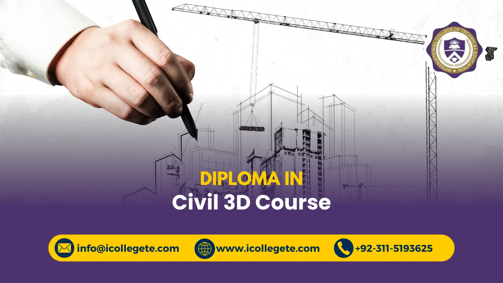
The Civil 3D Course is a practical and industry-focused training programme designed for learners and professionals seeking to develop expertise in Autodesk Civil 3D for civil engineering, infrastructure design, surveying, and construction projects. Civil 3D is a specialised design and modelling platform used to create detailed digital representations of civil infrastructure, including surfaces, alignments, profiles, corridors, grading plans, pipe networks, drawings, and project data.
This course introduces learners to the core features, tools, and workflows used in Civil 3D. It develops practical understanding of terrain surface creation, alignment and profile design, corridor modelling, grading, site development, pipe network design, quantity information, plan production, and technical documentation. Learners also gain an understanding of how digital civil engineering workflows can improve design coordination, manage revisions, and support efficient project delivery.
The Civil 3D Course is suitable for civil engineering students, graduates, engineers, surveyors, CAD technicians, infrastructure designers, site professionals, and construction personnel who want to strengthen their digital design capabilities. It can also benefit individuals looking to expand their CAD skills and prepare for civil engineering design-related career opportunities.
By developing practical Autodesk Civil 3D skills, learners can enhance design accuracy, drafting efficiency, technical communication, and professional productivity. These skills can be applied across road and highway design, land development, surveying, drainage, site development, and wider infrastructure projects.
This course covers essential Civil 3D tools and techniques to develop practical skills in civil engineering design, drafting, and infrastructure modeling.
- Introduction to Civil 3D Interface and Workspace Setup
- Basic Drawing and Editing Tools in Civil 3D
- Points, Survey Data, and Surface Modeling
- Alignment Design and Road Layout Development
- Profile Creation and Analysis Techniques
- Cross-Section Generation and Evaluation
This course enables learners to gain practical skills in Civil 3D software for civil engineering design, drafting, and infrastructure development.
Introduction to Civil 3D Interface and Workspace Setup
- Understand Civil 3D interface, tools, and workspace configuration
- Set up projects and manage drawing environments effectively
- Customize workspace for efficient design workflow
Basic Drawing and Editing Tools in Civil 3D
- Use basic drawing tools for 2D and 3D designs
- Apply editing commands for accurate drafting work
- Manage layers, objects, and properties efficiently
Points, Survey Data, and Surface Modeling
- Import and manage survey data for design projects
- Create and edit surface models from point data
- Analyze terrain and elevation information accurately
Alignment Design and Road Layout Development
- Design horizontal alignments for road and infrastructure projects
- Apply geometric design principles in layout development
- Modify and optimize alignment designs as needed
Profile Creation and Analysis Techniques
- Generate longitudinal profiles for engineering projects
- Analyze profile data for design accuracy and planning
- Interpret elevation changes for construction use
Cross-Section Generation and Evaluation
- Create cross-sections from alignment and surface data
- Evaluate cut and fill areas for project planning
- Use cross-sections for construction and design decisions
The Civil 3D Course provides practical software skills that can support learners in civil engineering, surveying, infrastructure design, and construction-related roles. Key benefits include:
- Develop practical Autodesk Civil 3D skills
- Create accurate civil engineering designs
- Build and manage digital terrain surfaces
- Design road alignments and profiles
- Develop corridor models efficiently
- Work with grading and site development
- Create pipe and drainage networks
- Produce professional engineering drawings
- Improve design accuracy and consistency
- Reduce repetitive design and drafting tasks
- Understand efficient civil design workflows
- Support better project coordination
- Generate quantities and design information
- Improve technical drawing and documentation skills
- Strengthen CAD and civil engineering capabilities
- Apply digital modelling to infrastructure projects
- Improve productivity in design environments
- Enhance professional employability and career prospects
- Support work across roads and infrastructure projects
- Build a foundation for advanced Civil 3D applications
The Civil 3D Course is suitable for learners and professionals who want to develop practical skills in civil engineering design, digital modelling, surveying, and infrastructure documentation. It can be particularly beneficial for:
- Civil engineering students and graduates
- Civil engineers seeking software skills
- CAD technicians and CAD operators
- Civil engineering designers
- Surveyors and surveying technicians
- Infrastructure design professionals
- Road and highway design professionals
- Land development professionals
- Site engineers and construction professionals
- Structural and infrastructure-related professionals
- Quantity surveyors involved in civil projects
- Project engineers and technical coordinators
- Architectural and engineering design professionals
- Individuals transitioning into civil CAD careers
- Professionals looking to upgrade their Autodesk Civil 3D skills
- Beginners interested in learning civil engineering design software