
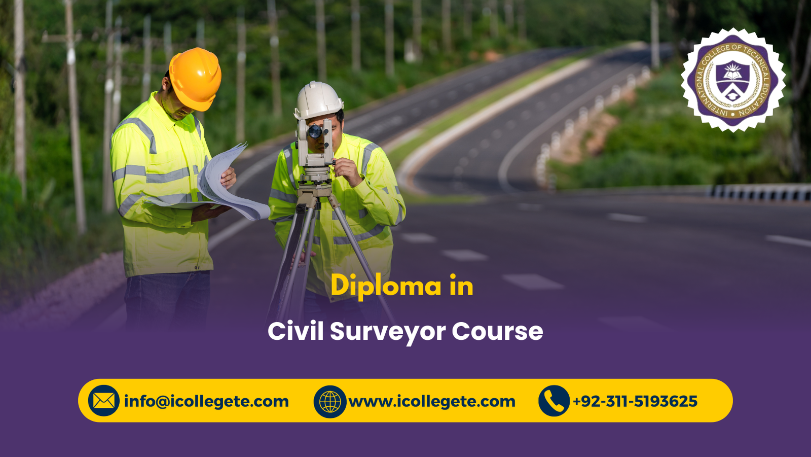
Civil Surveyor Diploma Training Program | Peshawar
The Diploma in Civil Surveyor Course in Peshawar is designed for individuals who aspire to build a strong career in the construction and civil engineering industry. This program provides comprehensive knowledge of surveying techniques, land measurement, and modern tools used in civil projects. With the growing demand for skilled surveyors in Pakistan and abroad, this diploma equips students with practical skills and theoretical understanding to meet industry standards.
Civil surveying plays a vital role in infrastructure development, including roads, bridges, housing schemes, and commercial projects. This course ensures that learners gain expertise in handling surveying instruments, interpreting maps, and applying advanced technologies such as GIS and AutoCAD. By enrolling in this diploma, students will not only enhance their technical abilities but also open doors to rewarding career opportunities in both public and private sectors.
The course is structured to provide hands-on training, fieldwork, and classroom learning, making it suitable for beginners as well as those with prior experience in construction. With expert instructors and industry-focused curriculum, the Diploma in Civil Surveyor Course in Peshawar is an excellent choice for anyone looking to establish themselves in the civil engineering domain.
Course Overview
This diploma focuses on the fundamentals of civil surveying, including land measurement, construction layout, and the use of modern surveying equipment. Students will learn practical applications of surveying in real-world projects, ensuring they are job-ready upon completion. The program emphasizes both theoretical knowledge and practical fieldwork, preparing graduates to work confidently in construction, engineering, and infrastructure development.
Entry Requirements
To enroll in the Diploma in Civil Surveyor Course in Peshawar, candidates must meet the following requirements:
- Age Requirements: Minimum age of 16 years.
- Qualification Requirements: At least matriculation (10th grade) or equivalent.
- Professional Experience: No prior experience required, but candidates with construction background will benefit.
- Educational Background: Basic knowledge of mathematics and science is preferred.
- Health Requirement: Candidates must be physically fit to perform fieldwork.
- Language Requirement: Ability to understand and communicate in Urdu or English.
Course Study Units
- Fundamentals of Civil Surveying
- Land Measurement Techniques
- Use of Surveying Instruments (Theodolite, Total Station, GPS)
- AutoCAD and GIS Applications
- Construction Layout and Planning
- Map Reading and Interpretation
- Fieldwork and Practical Training
- Safety and Professional Practices
Course Learning Outcomes
By the end of this diploma, students will be able to:
Fundamentals of Civil Surveying
- Understand the principles and scope of civil surveying.
- Explain the importance of surveying in construction and infrastructure projects.
- Apply basic surveying concepts to real-world scenarios.
Land Measurement Techniques
- Perform accurate land measurements using traditional and modern methods.
- Calculate distances, elevations, and areas with precision.
- Apply measurement techniques to different types of terrain.
Use of Surveying Instruments (Theodolite, Total Station, GPS)
- Operate and handle surveying instruments effectively.
- Conduct field surveys using Theodolite, Total Station, and GPS.
- Ensure accuracy and reliability in data collection.
AutoCAD and GIS Applications
- Create digital maps and layouts using AutoCAD.
- Utilize GIS for land analysis and project planning.
- Integrate digital tools into surveying practices for efficiency.
Construction Layout and Planning
- Prepare accurate layouts for roads, bridges, and buildings.
- Apply surveying techniques to ensure proper alignment in construction projects.
- Collaborate with engineers and architects in project execution.
Map Reading and Interpretation
- Interpret topographic maps and contour lines.
- Apply map-reading skills to construction and land development projects.
- Use maps for planning and decision-making in surveying tasks.
Fieldwork and Practical Training
- Conduct real-world surveys in outdoor environments.
- Apply classroom knowledge to practical fieldwork.
- Demonstrate problem-solving skills during field exercises.
Safety and Professional Practices
- Follow safety protocols during fieldwork and construction activities.
- Adhere to professional standards and ethical practices in surveying.
Course Benefits
This diploma offers multiple benefits to learners:
Career Opportunities
- Access to jobs in construction companies.
- Opportunities in government infrastructure projects.
- Potential for overseas employment.
Skill Development
- Hands-on training with modern instruments.
- Strong foundation in AutoCAD and GIS.
- Practical fieldwork experience.
Industry Recognition
- Certification recognized by construction and engineering firms.
- Enhanced credibility in the job market.
- Competitive edge over non-certified individuals.
Personal Growth
- Improved technical knowledge.
- Confidence in handling complex projects.
- Ability to work independently and in teams.
Who Can Enroll in This Course
This diploma is suitable for a wide range of learners:
Students
- Fresh matriculation or intermediate graduates.
- Those interested in civil engineering careers.
- Learners seeking practical skills.
Professionals
- Construction workers aiming to upgrade skills.
- Technicians looking for certification.
- Individuals seeking career advancement.
Job Seekers
- Those aiming for government jobs.
- Candidates targeting overseas employment.
- Individuals seeking stable career options.
Future Progression
After completing this diploma, learners can progress in various directions:
Higher Education
- Enroll in advanced civil engineering diplomas.
- Pursue bachelor’s degree in civil engineering.
- Specialize in GIS or structural engineering.
Career Advancement
- Work as a senior surveyor in construction firms.
- Gain supervisory roles in infrastructure projects.
- Build expertise in project management.
International Opportunities
- Employment in Middle East construction projects.
- Work with multinational engineering firms.
- Access to global certifications in surveying.
Entrepreneurship
- Start a private surveying consultancy.
- Offer freelance surveying services.
- Collaborate with local builders and contractors.
The Diploma in Civil Surveyor Course in Peshawar is a gateway to a rewarding career in the construction and engineering industry. With a curriculum designed to balance theory and practice, this program equips learners with essential skills in surveying, mapping, and project planning. The entry requirements are accessible, making it suitable for students, professionals, and job seekers alike. By mastering modern tools such as AutoCAD and GIS, graduates will be prepared to meet the demands of both local and international markets
Take the Next Step Toward World Civil Surveyor Course- Enroll Now