
If you are looking to build a career in the civil engineering field with a focus on surveying, the Civil Surveyor course in Chakwal offers an excellent opportunity to develop essential skills and knowledge. This course is designed to equip students with the technical expertise required to measure and map land accurately, which is crucial for construction, infrastructure development, and urban planning.
The Civil Surveyor course is tailored for individuals interested in the practical and theoretical aspects of land surveying within the civil engineering domain. It focuses on teaching students how to collect and analyze spatial data, use modern surveying equipment, and interpret survey results to assist in construction and development projects.
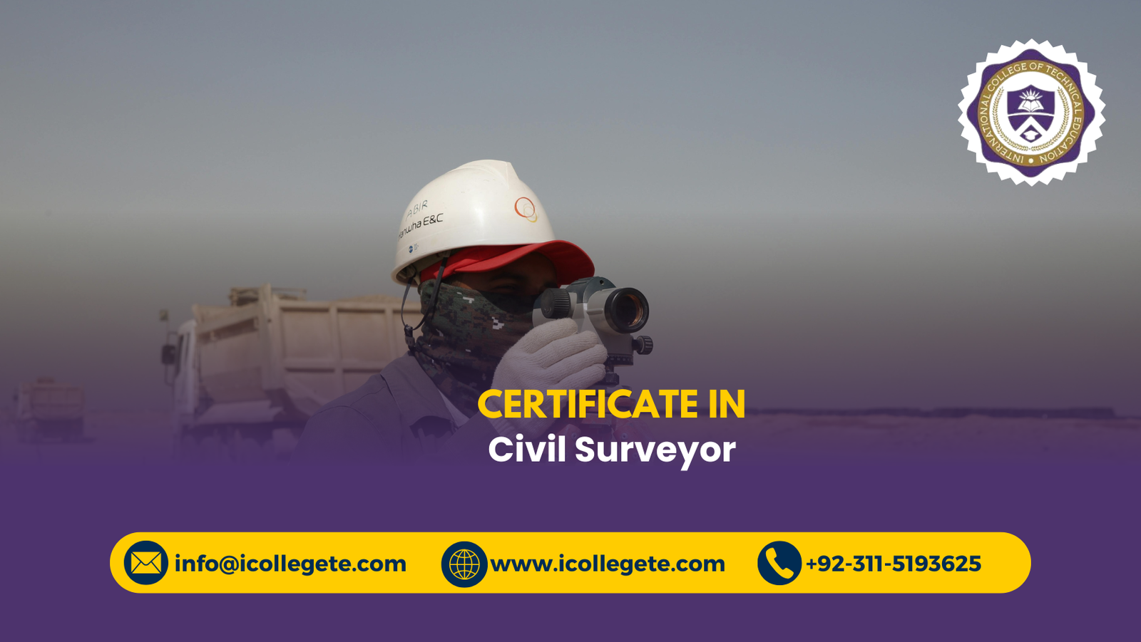
The course covers fundamental surveying principles, measurement techniques, and the use of specialized instruments such as total stations, GPS, and leveling tools. Students will learn how to prepare survey maps, perform topographical surveys, and understand legal and environmental considerations relevant to surveying tasks.
Study Units
The curriculum is divided into several key units, including:
- Introduction to Civil Surveying: Basics of surveying, terminology, and applications.
- Measurement Techniques: Distance, angle, and elevation measurement methods.
- Surveying Instruments: Usage and calibration of total stations, GPS devices, theodolites, and levels.
- Topographic Surveying: Mapping land features and contouring.
- Construction Surveying: Layouts and staking for building and infrastructure projects.
- Data Processing and Mapping: Data analysis and creation of survey plans using software.
- Legal and Ethical Aspects: Understanding property boundaries and regulatory compliance.
- Fieldwork Practices: Hands-on training in real-world survey scenarios.
Learning Outcomes
Upon completing the course, students will be able to:
- Conduct precise land measurements using modern surveying instruments.
- Analyze and interpret survey data to produce accurate maps and reports.
- Understand and apply surveying techniques in various civil engineering projects.
- Identify legal boundaries and comply with regulations related to land surveying.
- Use surveying software for data processing and visualization.
- Demonstrate practical skills through field exercises and project work.
Course Benefits
This course provides several benefits to learners, including:
- Development of highly marketable technical skills in civil surveying.
- Access to practical, hands-on training with up-to-date surveying equipment.
- Enhanced problem-solving abilities related to land measurement and mapping.
- Improved employability in construction firms, engineering consultancies, and government departments.
- Foundation for further studies or professional certifications in civil engineering and surveying.
Who Is This Course For?
The Civil Surveyor course in Chakwal is ideal for:
- Students and recent graduates interested in civil engineering and land surveying.
- Professionals working in construction, urban planning, or infrastructure development seeking skill enhancement.
- Individuals aiming for a technical career in government or private sector surveying departments.
- Anyone passionate about land management, mapping, and environmental planning.
Future Progression
After completing this course, students can pursue advanced qualifications such as a diploma or degree in civil engineering or geomatics. Career options include becoming a licensed surveyor, construction engineer, project manager, or GIS specialist. The skills gained also open opportunities in related fields such as urban development, environmental consulting, and infrastructure planning.